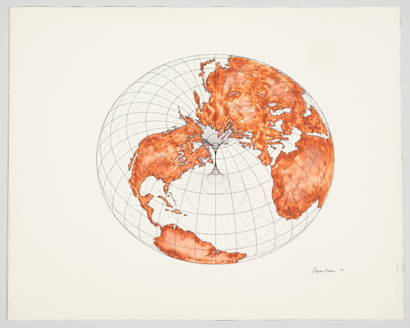
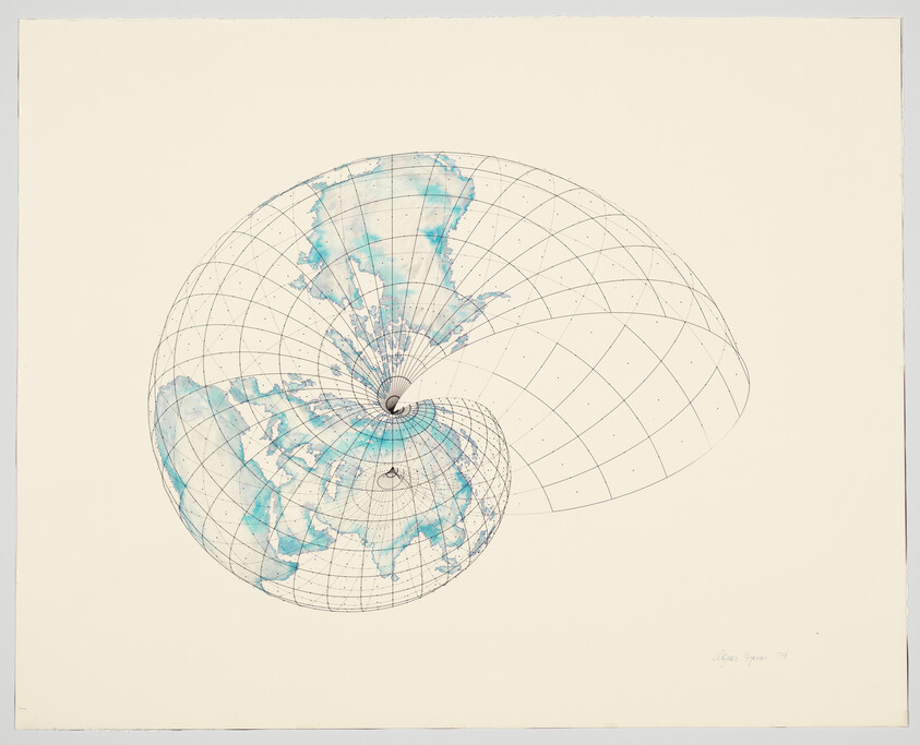
Isometric Systems in Isotropic Space—Map Projections: The Doughnut is from a series of studies of topographical motifs that Agnes Denes began to produce in the late 1960s. In these works, Denes plays with isometric projection, a method of visually representing three-dimensional objects in the two-dimensional format of a technical sketch. Here, she projects an accurate geographical rendering of the globe onto a doughnut form—creating an unexpected image in which “the North Pole and the South Pole meet in the hole of the Doughnut pulling in the continents. . .” A longtime advocate for human stewardship of and responsibility for the planet, Denes used this drawing and her other Map Projections to reimagine to earth and the place of humans on it. As she remarked, “longitude and latitude lines were unraveled, points of intersection cut, continents allowed to drift, gravity tampered with [and] earth mass altered.”
Not on view
Date
1979
Classification
Drawings
Medium
Watercolor and graphite pencil on paper with screenprint on plastic overlay
Dimensions
Sheet (Irregular): 24 × 30 1/8 in. (61 × 76.5 cm)
Accession number
2001.168
Credit line
Purchase, with funds from Charles Tanenbaum and the Postwar Committee
Rights and reproductions
© artist or artist's estate


