
Community Art Project with Lize Mogel: Session 2
Jan 20, 2015
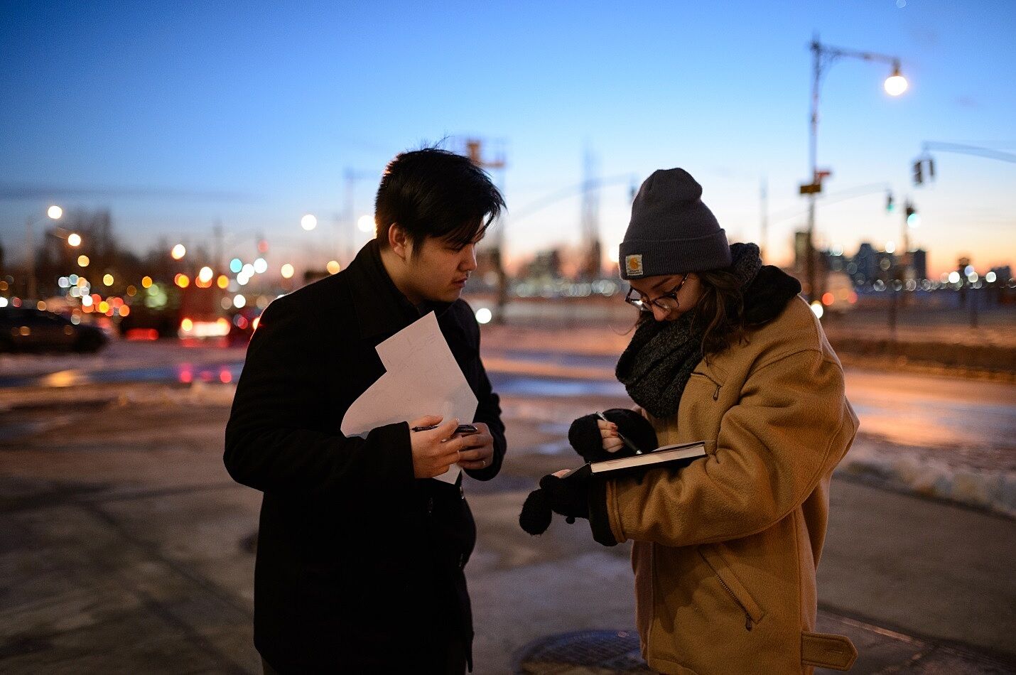
YI Leaders walk around the neighborhood to collect data for their mapping project, January 2015. Photograph by Filip Wolak
In our second session of the Community Art Project on January 20, we worked on our own personal maps of the Meatpacking District. Inspired by Denis Wood’s book Everything Sings Maps for a Narrative Atlas (2013), in which the artist tracks and maps different things around his neighborhood from barking dogs to jack o’ lanterns. We had to pick one thing to map (such as bikes, dumpsters, puddles), and mark where we saw these things on a map of the area. This was inspired by our previous work the week before with Mogel when we made a collective map of the neighborhood with personal landmarks. As a group, we set clear boundaries for how much of the neighborhood we were actually going to map, so that we would all focus on different things but within a set, designated space. We decided on the area north to south between West 16th Street and Jane Street and east to west between Eighth Avenue and the Hudson River.
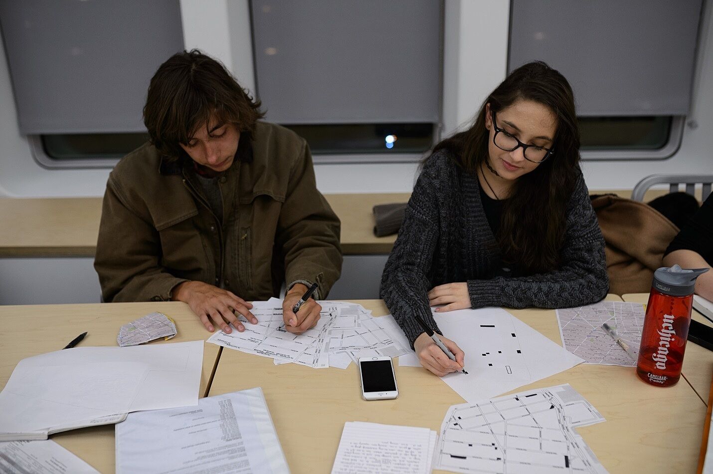
Carlo and Anna reflect on their mapping of doorknob-less doors and empty real estate spaces, January 2015. Photograph by Filip Wolak
I was partnered with Anna. We decided to start at West 16th Street and work our way down. Interestingly, without realizing it, Anna and I decided to map things that were closely related. While I was mapping doors that you could not open from the outside, Anna was mapping empty real estate spaces. I found these knobless doors mostly on warehouses, which are symbolic of the Meatpacking District’s past. Anna’s mapping of empty spaces for rent or sale symbolized the current gentrification of the Meatpacking District. Furthermore, we observed that a lot of the things we mapped ended up being right next to each other. After mapping our set area, we returned to the Whitney and elaborated on why we chose to map what we did. We will continue to develop our maps in the next session with Mogel.
By Carlo, YI Leader