
Lize Mogel: Communityartist in residence
Mar 11, 2015
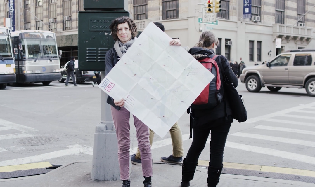
Artist Lize Mogel, February 2015. Video still
Lize Mogel is Whitney Education’s Community Artist in Residence. Mogel’s work connects art, map making, and cultural geography. She creates what she calls “counter-cartography”—Mogel explains, “if maps have long been used as a tool of political power, representing the dominant perspective of places, spaces or people, then the practice of counter-mapping challenges and pushes back against this history, bringing stories to the surface that are not being told, and need to be heard.”
Mogel is exploring the Whitney’s downtown neighborhood with teens, community organizations, and schools. This is not her first Meatpacking District project. In 2011, Mogel led a walking tour of the Meatpacking District that revealed neighborhood histories that had been obscured by development, and designed two print projects that asked people to look at and think about the area in a different way.
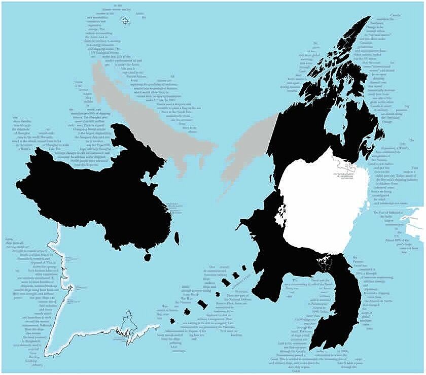
Lize Mogel, Mappa Mundi, 2008. Printed map. Dimensions variable
An example of Mogel’s work is Mappa Mundi (2008), in which she reorders the iconic world map based on connections between places, their histories, and the processes of globalization. For example, the Panama Canal (seen at the lower right) and San Francisco (above it in white) are connected by the 1915 World's Fair, which celebrated the opening of the Canal and put the Bay Area on the map as an important hub for shipping. Together, they represent contemporaneous events that had a significant impact on international commerce and production.
For the Whitney project, titled Deep Atlas, Mogel draws on the idea of the “deep map” to represent different community experiences and histories in the neighborhoods around the Whitney’s new home. A “deep map” is the multi-layered, narrative content that lies beneath a map’s surface. In Mogel’s words: “Mapping the neighborhood resonates differently for each of the participating groups that include seniors aging in place and public housing residents who have seen the neighborhood change around them; to LGBTQ teens and seniors who come here from all over the city to find community; to schoolchildren who haven’t yet been introduced to the history of the neighborhood. Mapping is a way to uncover personal histories and see what they reveal about the past, present, and possible futures of the neighborhood.” Each participant is exploring their personal relationship to this area through different kinds of “map mash ups,” Mogel’s term for reinterpreting traditional maps.
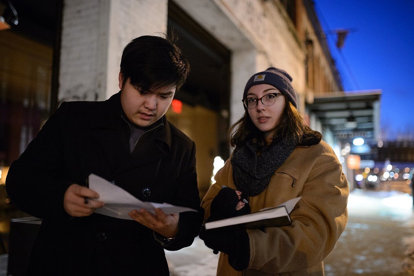
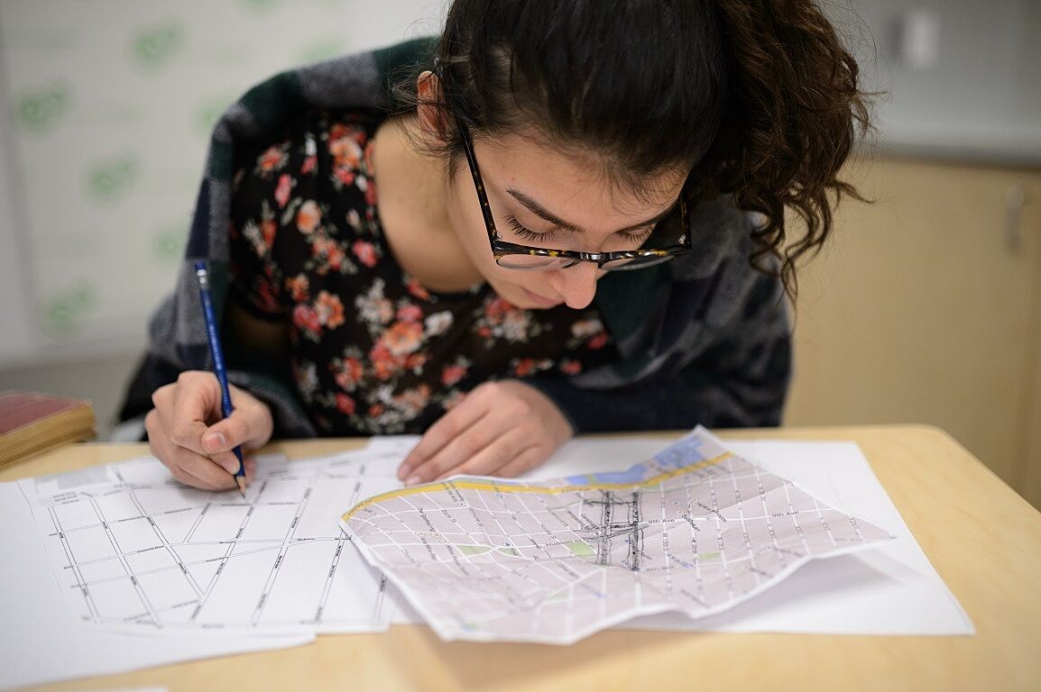
Teens work on tracking projects in the Meatpacking District, February 2015. Photograph by Filip Wolak
In her first session with the Whitney’s Youth Insights teens, Mogel introduced the themes of the project, the concept of counter-mapping, and how maps can reveal different types of information. The teens went outside and took photographs, tracking non-traditional map categories such as empty spaces available for rent; graffiti tags, doors without doorknobs, and coffee shops that aren’t Starbucks.
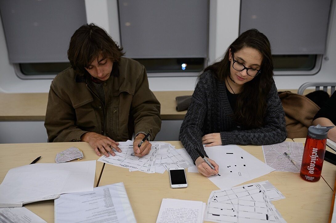
YI Teens work on their tracking results, February 2015. Photograph by Filip Wolak
Pauline Noyes, Coordinator of School and Educator Programs, who co-led the sessions with Mogel, explained that the teens learned that by tracking these idiosyncratic categories, you can gain insights into the history and present conditions of a place. For example, the coffee shops that are not Starbucks are generally more expensive than the well-known chain and represent the rising price points of the area. One teen tracked the streets, noting which are gridded and which are winding and have cobblestones as well as where each street merges, essentially demarcating where historic New York ends and the modern city begins. By paying attention to evidence like this, the teens have created narratives about the neighborhood that are different from a conventional map.
One teen tracked where the cobblestones in the Meatpacking District end and pavement begins, February 2015. Photograph by Filip Wolak
In order to represent these hidden stories visually, the teens brainstormed ways of representing them as icons on their own individual maps of the neighborhood. Noyes said that the teens have paid much closer attention to the neighborhood since starting the project. By creating deep maps, the teens have noticed more details on the streets and have developed stronger connections to the Meatpacking District. This mapping project is helping them rethink their own relationship to this neighborhood. They’ve discovered an appreciation for what maps can do, and what they can tell us.
Check out this video featuring Mogel on counter-cartography.
Hannah Heller, Teachers College/Whitney Museum Research Fellow